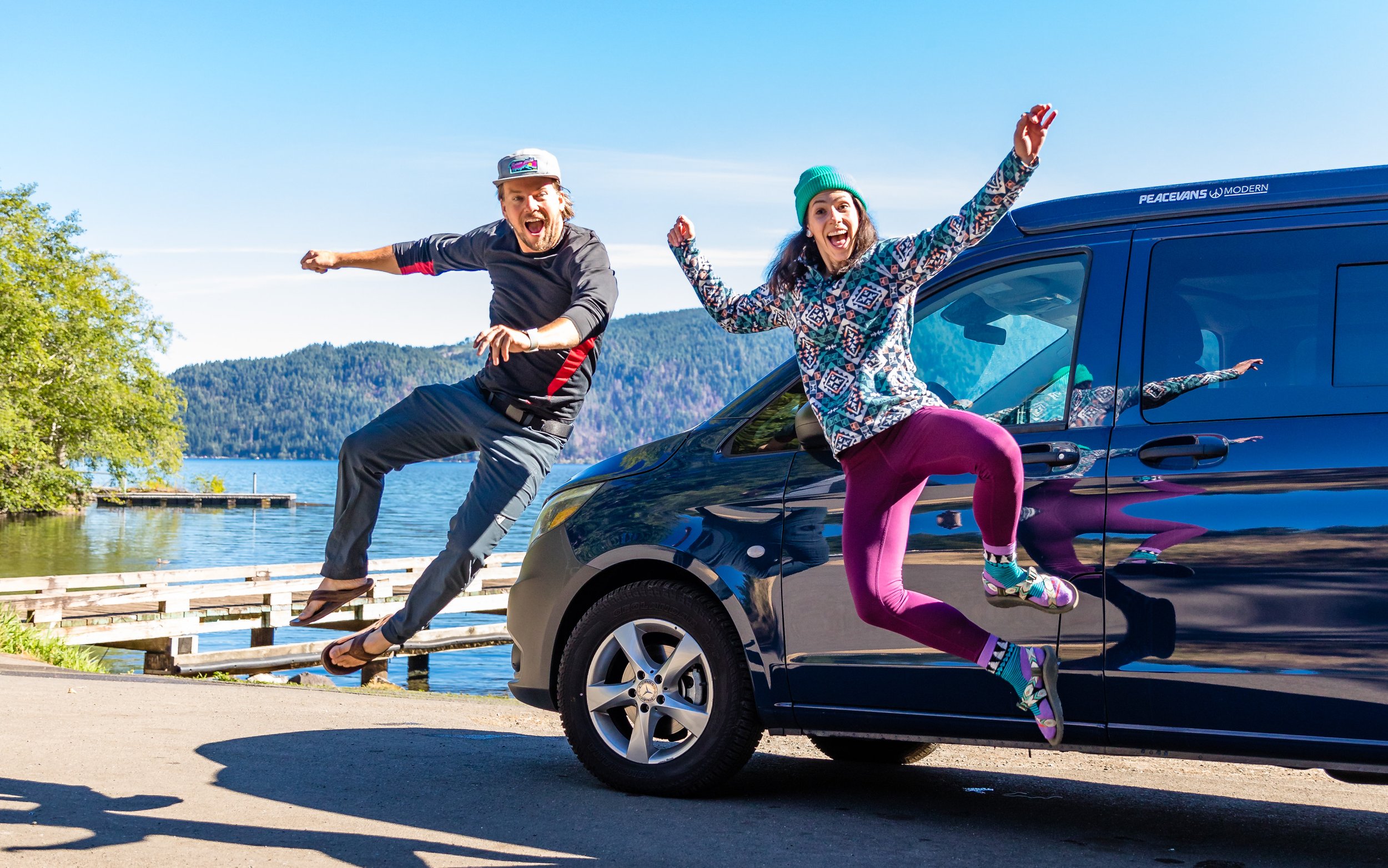
Around the Olympic

Three weeks of vanlife and hiking while circumnavigating the Olympic Peninsula.
by Josiah Roe
Imposing, intimidating, and un-crossable: until the early 20th century the Olympic Peninsula contained the last of the unexplored wilderness in the contiguous United States. Even now the Olympic Mountains remain uncrossable except by foot and even then only in the most ideal of conditions.
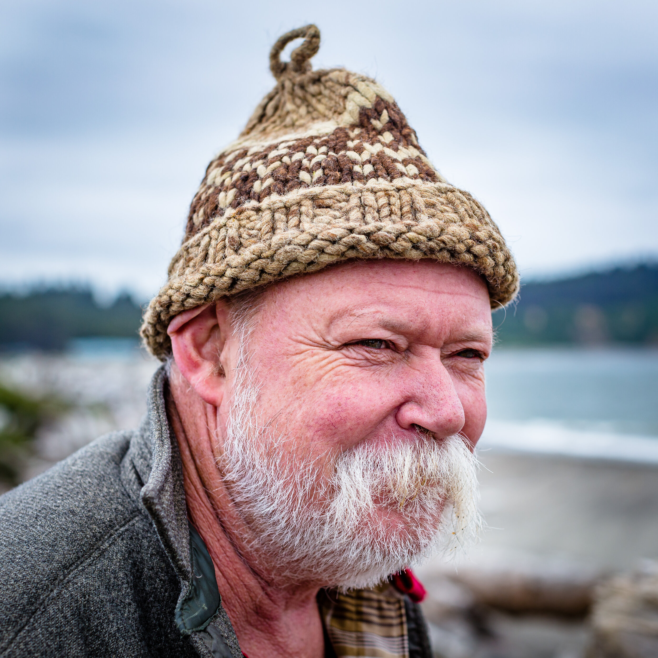
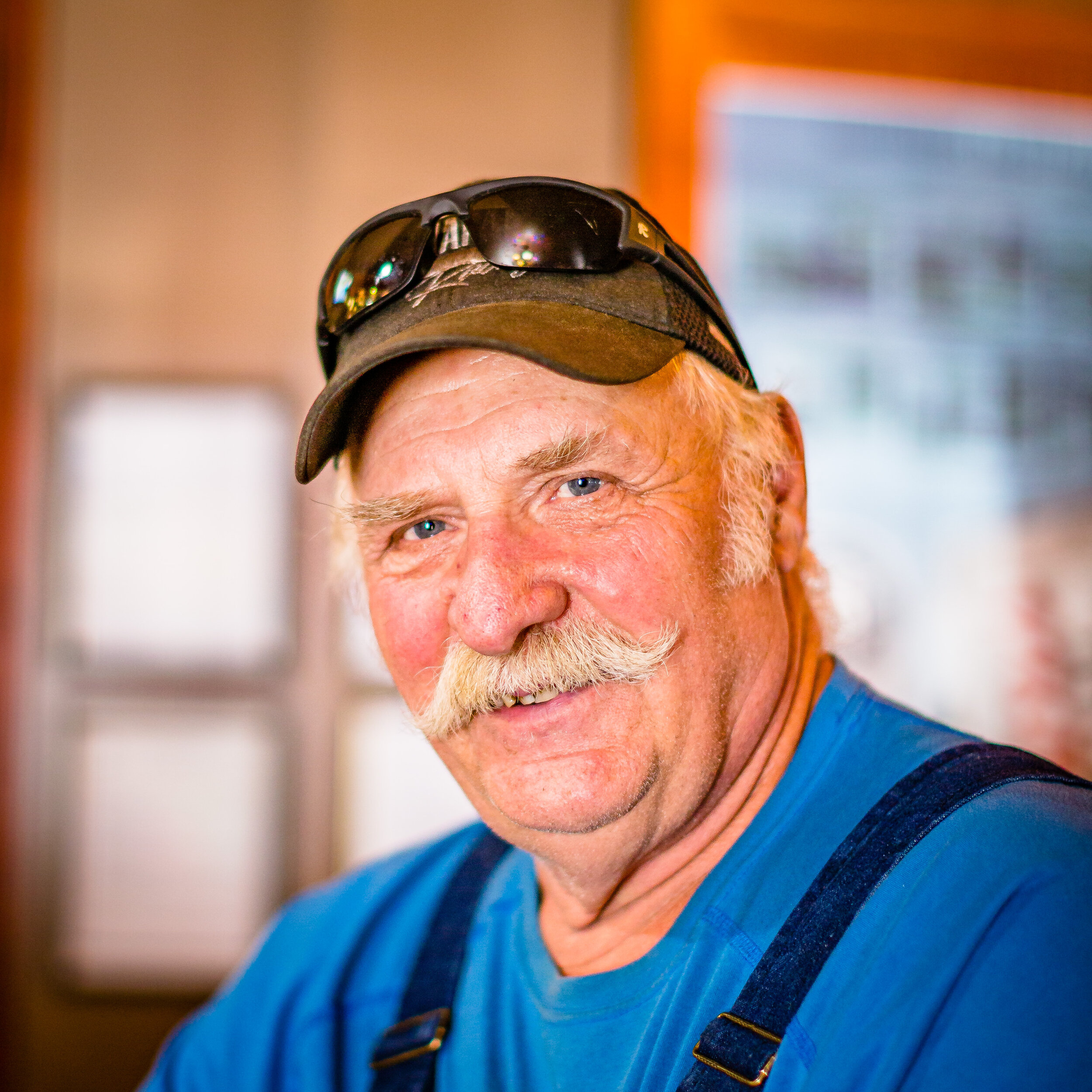
To explore you it is to go around, slowly. To love it is to meet those who call it home.
The Right Side: The National Forest
We set out from Olympia north along the eastern side of the Peninsula and up into the Olympic National Forest and its maze of unmaintained logging and fire roads.
We pass rusting abandoned vehicles and the few remaining pockets of old-growth before the clouds break, revealing the Seattle skyline some 25 miles distant.
The Upper Right: Port Townsend, the “City of Dreams”
We stop for a breakfast for oysters and waffles at Hama Hama, long on my culinary bucket list, before pressing on to the town of Port Townsend on the northeast corner of the peninsula.
Entering the town we pass anachronistic Victorians and sailboats of all variety, wrapped in equal parts fog and charm and civic pride. Port Townsend’s active harbor and fishing community balances the weekender tourism scene with a healthy dose of blue collar grit.
We duck into Tunnel Tavern for drinks with newly-met vanlife friends on the first leg of the Panamerican, and the following day we stop by The Artful Sailor for a step back in time and to pick up one of Salty Sue’s Sailor Knives, a tool equally as useful on the road or on the sea.
On Sue’s recommendation we visit the Uptown Pub for a beer and lunch before setting out.
The Center: Hurricane Ridge, Olympic National Park
After passing Port Angeles, we head south and up into Olympic National Park, making for Hurricane Ridge.
Mount Olympus looms large in the distance, and we follow an old fire road until we find a simple spot with a view of the mountain.
The following morning we try out Jackie’s new french press for the first time, the Kicking Horse coffee has a well-deserved name, and Sue’s knife makes short work of tomatoes and avocados we picked up at a roadside farm stand.
Upper Left: Cape Flattery, Neah Bay
We head west along the northern edge of the peninsula, and the sky and the Salish Sea turns a moody grey. Water is everywhere present.
Eventually we cross into the Makah Reservation heading for Neah Bay and Cape Flattery, the northwesternmost point in the contiguous United States.
We stop at a local market to chat up a friend of a friend who recommends a campsite, and we drive to the small parking lot and hike out to the overlook at low tide.
The lighthouse on Tatoosh Island is deactivated. The rain is constant. The views are incredible.
The West: Forks + La Push + The Hoh Rainforest
Heading south we explore the seemingly endless dirt roads till they dead-end. We meet loggers and fisherman, and during a visit to Blakeslee’s in Forks we are given coordinates to a grove of old growth rainforest in the National Forest that has yet to be logged.
We find solitude and isolation up roads nearly overgrown and reclaimed by the forest, and we cross paths with others who have found peace and a quiet place to practice their craft of cabin-building.
We set out for the Hoh Rainforest. The rainforests of the Western Olympic Peninsula are unlike anywhere else in the world, and after the clearcut we experienced on the reservation and on forest land we are grateful for the protection of the old growth provided by the National Park.
We arrive just after sunrise and hike the Hall of Mosses, overwhelmed by the plants sprouting from and growing on every inch of rock and tree and dirt.
Leaving Hoh we head west to the Quileute town of La Push on the mouth of the Quillayute River. Seastacks, islets, and islands tower over the foggy coastline.
At night we can hear the coast guard fog horn located on the lighthouse on James Island, and we make a fire of driftwood cooking a dinner of salmon we buy from a local fisherman.
The Southwest: Queets & Quinault
In La Push we meet a local retired fisherman who tells us of a river where we can camp not far from the Quinault Rainforest. We are grateful and set out, passing waterfalls and rockslides before following an old logging road down to a perfect campsite.
The following day the fog gives way to late August sun, and its warm enough to float and swim. The trout are jumping and bald eagles do long slow laps overhead, and we forget that time is anything at all.


