Across the Valleys of Death
Over five days and hundreds of dusty miles, 4 friends set out to cross some of the most remote and awe-inspiring terrain in Death Valley National Park and the surrounding public lands. From the towering silence of Eureka Sand Dunes to the Nearly forgotten pools of Panamint Hot Springs, this story follows a winding route through Saline Valley, hidden canyons, THE ALABAMA HILLS, and high desert passes few ever see.
by Josiah Roe
A hundred miles north into the Nevada desert and long after the lights and sounds of Las Vegas have given way to basin and range, we arrive at the small, unincorporated township of Beatty, Nevada, our first and only stop before we head into the Death Valley National Park backcountry for five days of 4WD and off-road exploration.


I look up from refueling the truck and its spare gas tanks to see a small group of wild burros crossing Highway 95 and wandering into the parking lot next door.
The burros, some 1,000 strong overall and a remnant of Beatty’s mining history, also inspired the name of the restaurant across the street, “Happy Burro Chili & Beer”, where we order three chili dogs to go before ducking into the Sourdough Saloon for a round of rusty nails and to inquire as to the status of the Titus Canyon trail.

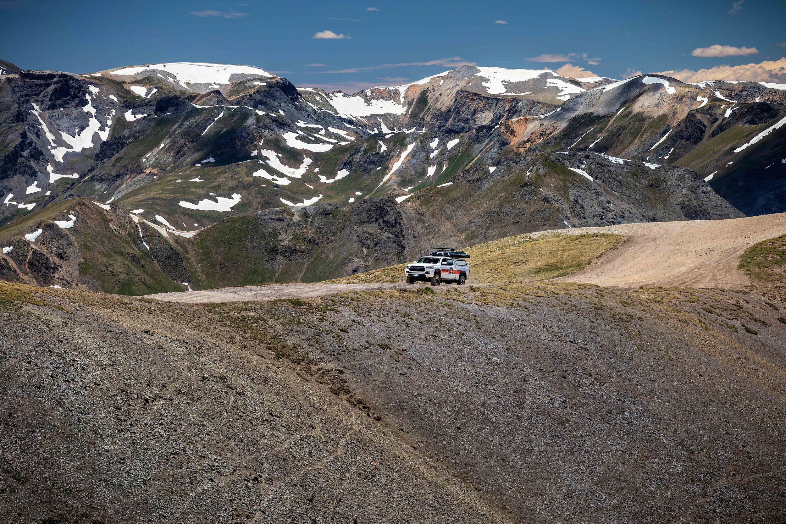
We head south out of town for just over 6 miles before turning right off of pavement and onto Titus Canyon trail. We accelerate and a long plum of dirt and dust billows out behind us as climb up into the Grapevine Mountains which mark the northeastern edge of the 3.3 million acre Death Valley National Park and wilderness, the 5th largest national park in the United States and the largest in the lower 48.

Crossing over Red Pass we pass the ghost town of Leadville and drop down into Titus Canyon and its thousand foot walls of 500-million year old limestone. The road narrows to less than 20 feet as we pass petroglyphs and natural springs before canyon opens to the vastness of Death Valley itself.


Even in November the temperature in the valley is well above 85 degrees Fahrenheit, and we roll our windows down and breath deep the dry, thick desert air as we turn north.

We climb up the northern tip of the Cottonwood Mountains to Ubehebe Crater, a volcanic crater that was formed 800 years ago when groundwater flashed into steam, creating the half mile, 750’ deep crater and covering the surrounding landscape with black volcanic rock.

We follow the narrow dirt road south and up 4,100’ to Teakettle Junction where, as tradition dictates, we attach a tea kettle that we procure back in Beatty before pressing on and down into the Racetrack Playa valley.


We watch the sun set over The Grandstand and Hunter Mountain as the road turns into teeth-rattling washboard, and we stop at the Homestake primitive camp just south of the playa. We make camp, setting up our dual rooftop tents.

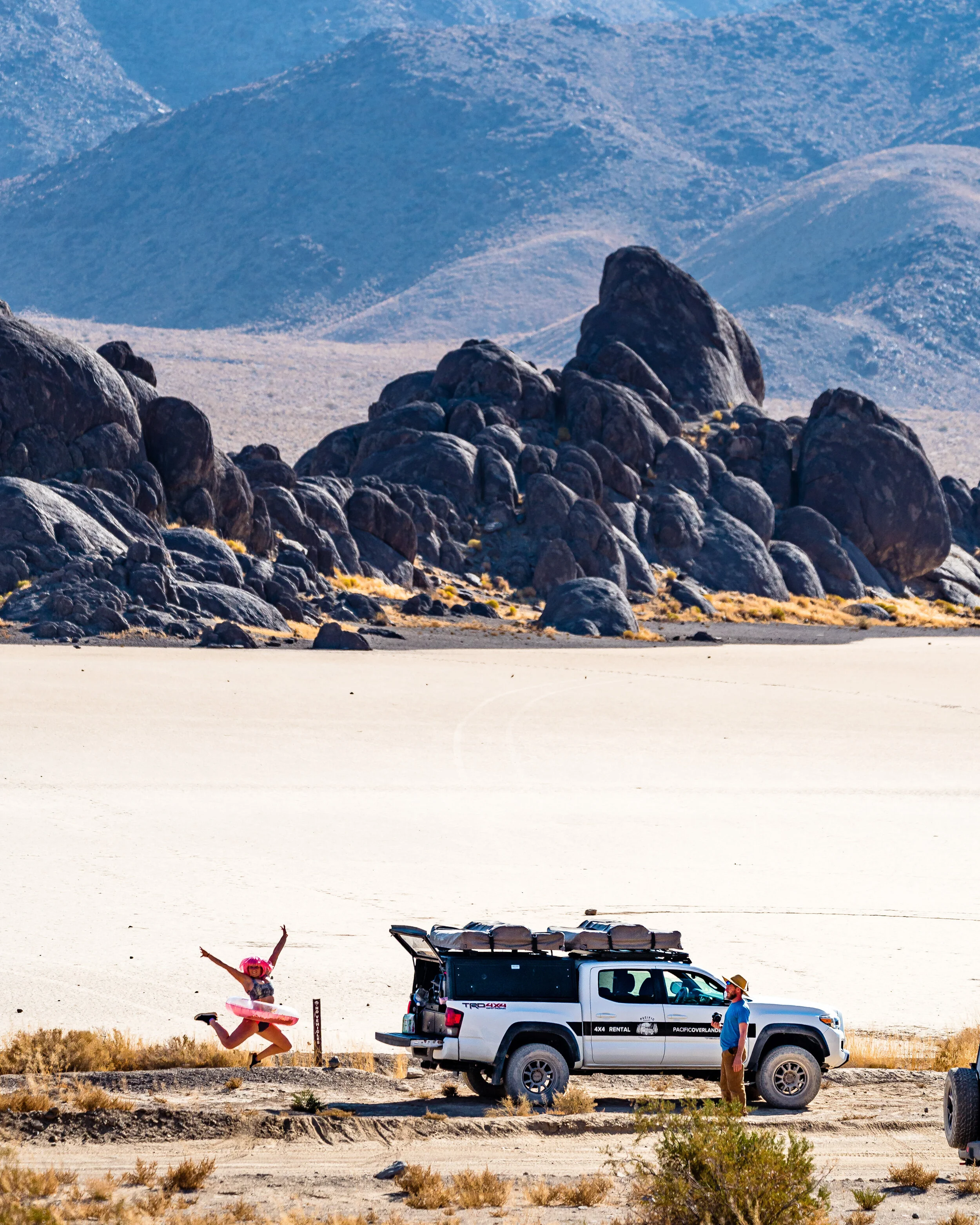
I wake at sunrise to the sounds of coyotes in the distance, and we rally to make a breakfast of fried eggs and Mountain House Breakfast Skillet before heading back to wander out to The Grandstand.


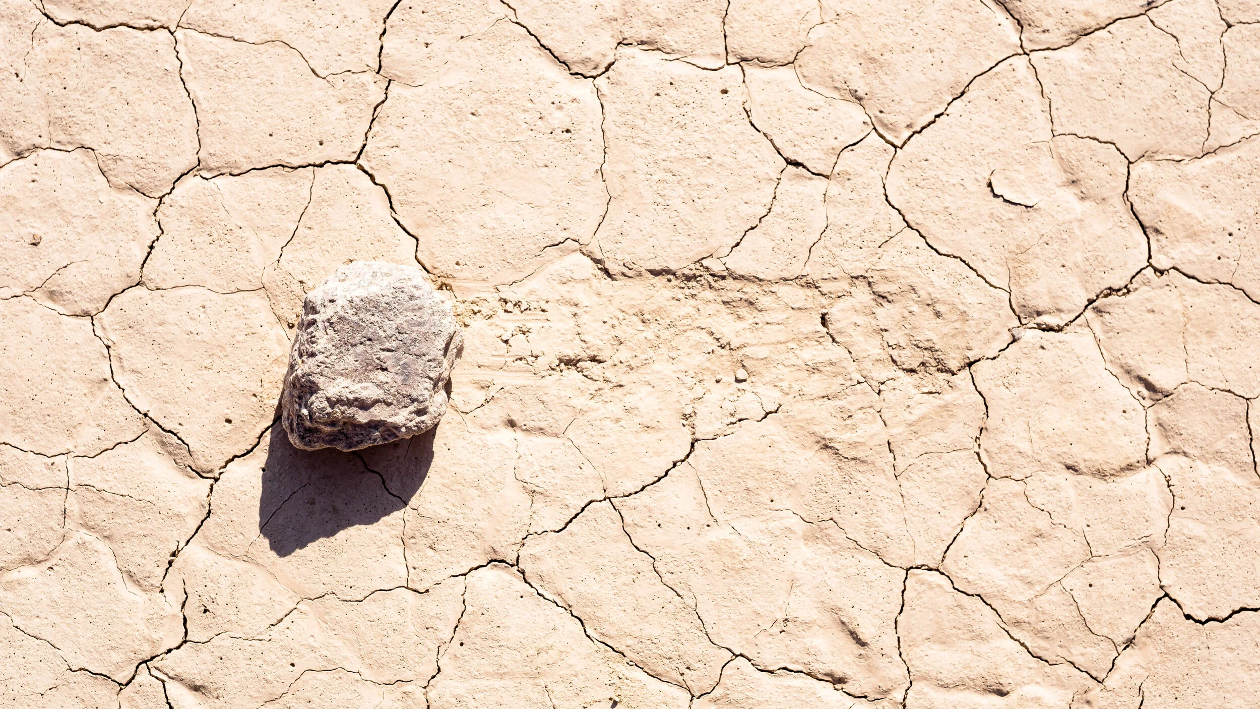
The playa shines bright-white in the morning light, and bulbous, alien-like rocks of The Grandstand monolith are made of shimmering, dark adamellite, an intrusive igneous rock that cooled slowly and deep underground long before the ground around them eroded.


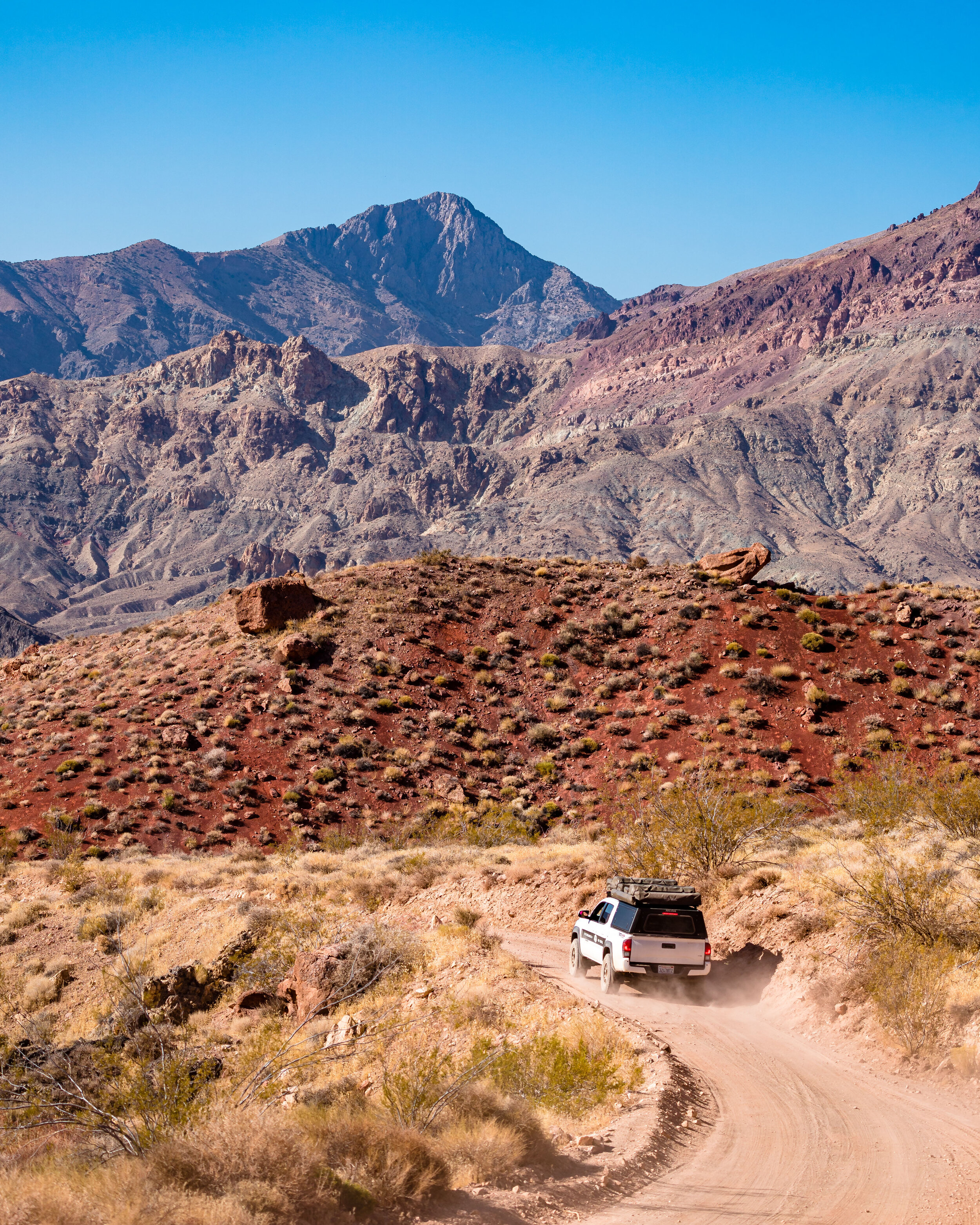
We continue our journey south, taking the technical and heart-pounding 4wd-only Lippincott Mine Road over the mountains and down into Saline Valley.


We cross the valley and head north along the bass of the 9,000’ high Panamint Mountains, eventually passing the ruins of the Saline Valley Salt Works and crossing into the Saline Valley Sand Dunes.


Soon we arrive at our destination, the Saline Valley Hot Springs, only to discover that the springs have been closed by the Park Service and seemingly abandoned, with all tubs empty (save for one) and not a person in sight.


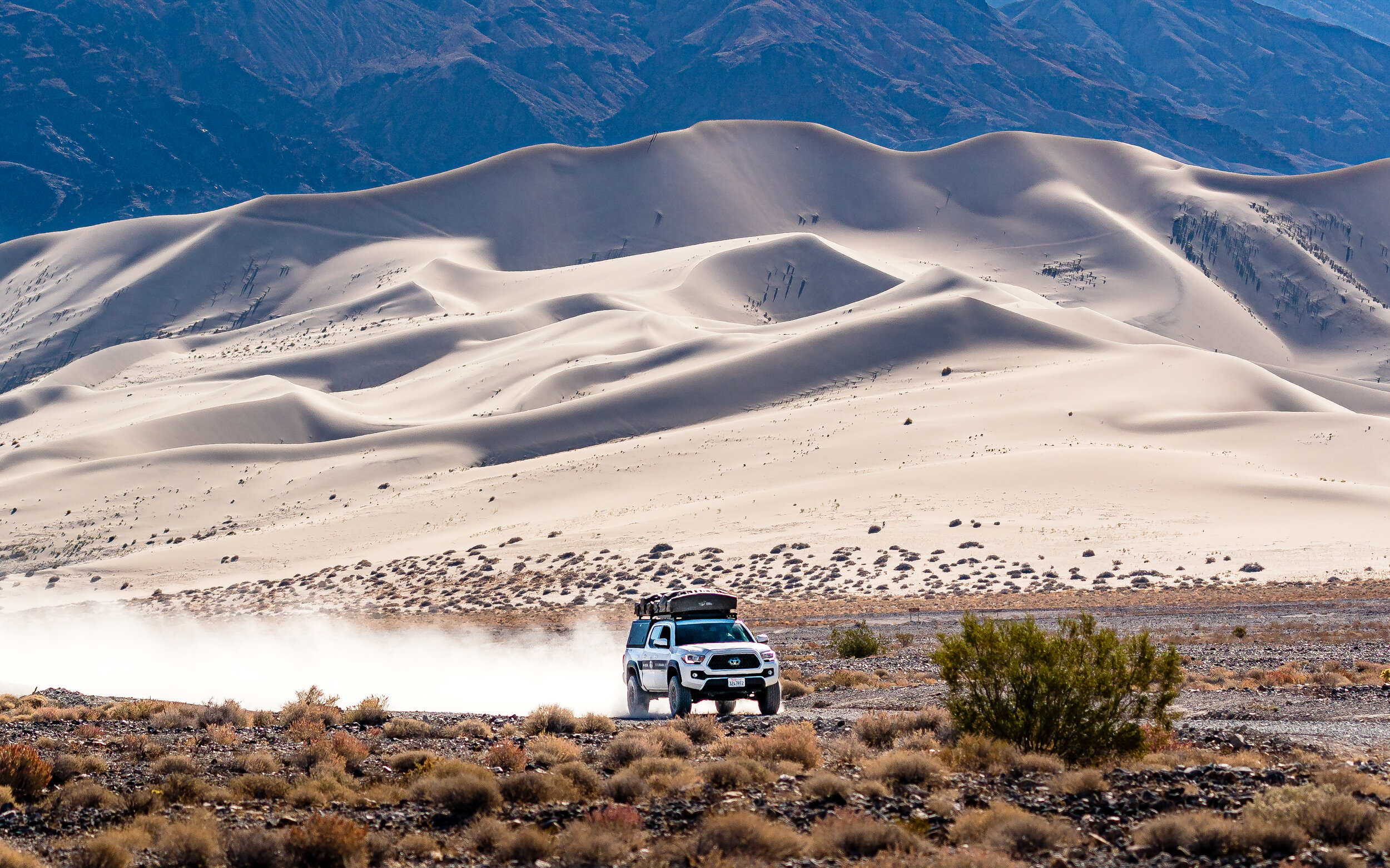
Officially the lone tub remains un-used, and we press on to the north up over the Saline Mountains and down into Eureka Valley.
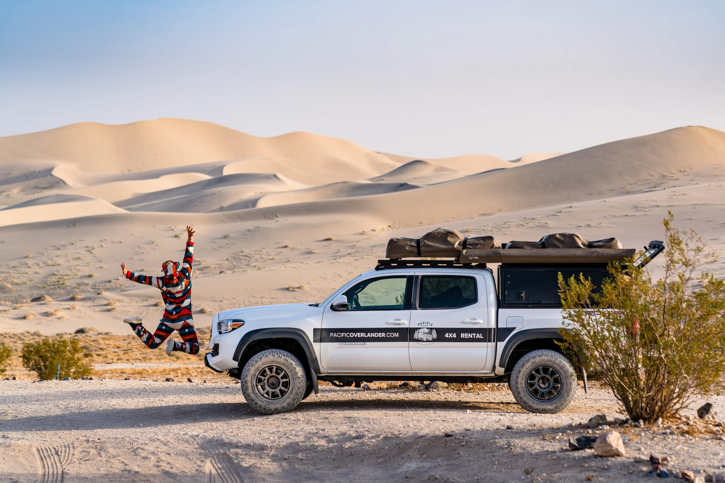
The Eureka Dunes tower some 800’ over the southern end of the Valley, making them the tallest sand dunes in North America.
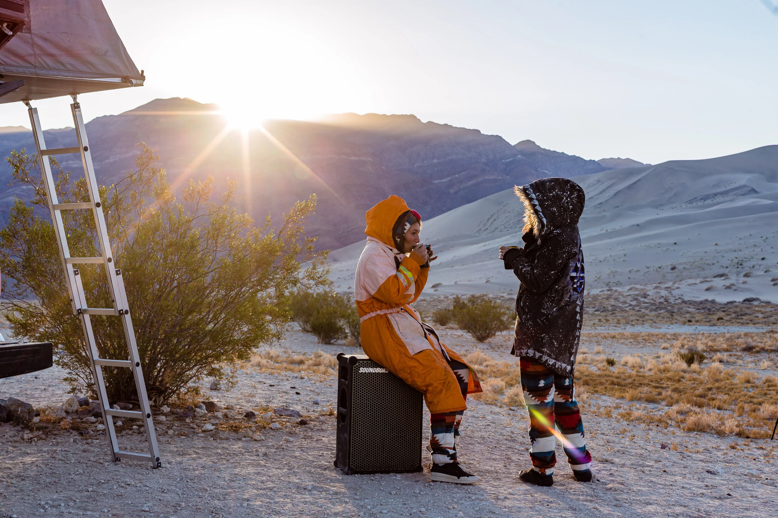
As we make camp at the base of the dunes, the winds begin to pick up eventually culminating in 48 hours of a 45 mph windstorm, and we construct a fortress of coolers and rock around our propane fire pit for warmth.


The next day we watch the sun rise over the Last Chance Range, watching the Dunes change from blue to pink to white. We strike camp and head west over the mountains and into the Owens Valley turning south under the towering eastern face of the Sierra Nevadas.


We turn off of Highway 395 onto Moffat Ranch Road taking the back way into the Alabama Hills. As we cross several creeks the terrain turns into an otherworldly collection of giant, orange boulders and rock formations set against the bright grey-blue granidiorite of the Sierra Nevada Mountains.

Rock climbers, high-liners, overlanders and explorers alike are tucked in dispersed campsites, and we choose one with a view of the east face of Mount Whitney some 9,000’ overhead.
That night the winds build to a roar, and we find shelter amongst the house-sized boulders, positioning our truck to block the wind and finding warmth from our fire and blankets. A few rock climbers wander over, drawn to our lights and music and fire.


The following morning we head east from Lone Pine and into Pananamint Valley, stoping at Father Crowley Overlook and Rainbow Canyon, the former also being nicknamed “Star Wars Canyon” for the jet fighters that fly through it and below the viewers positioned at the Overlook.

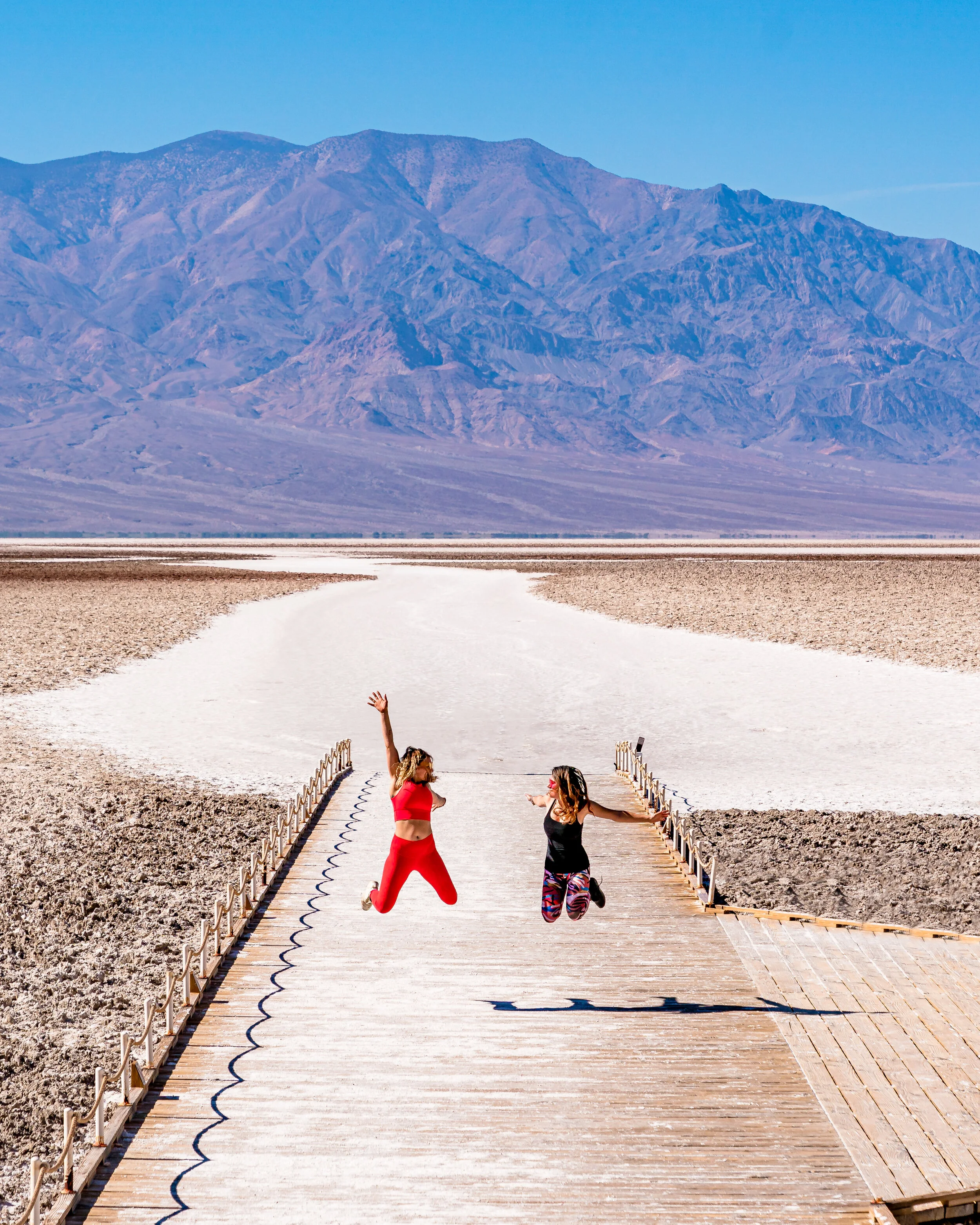
As we return to Death Valley itself we stop at the Mesquite Flat Sand Dunes to stretch our legs before we press on to our final destination, Badwater Basin.

We stop and park near a small spring-fed pool of “bad water” and venture out onto the long wooden walkway that leads out onto the salt flat.
On August 17, 2020 the hottest air temperature ever recorded at 130 degrees Fahrenheit was taken here, some 42 degrees warmer than it is currently. The sun beats down and we climb back into the truck, grateful.